


What We Do


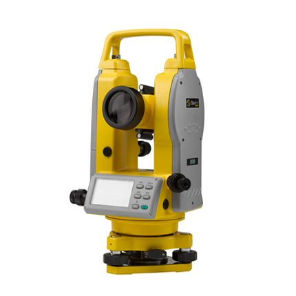
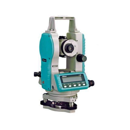
Digital survey
This engineering investigation is a major step before starting any construction as it represents the standard of Land to hold everlasting masterpiece architecture. We provide these Professional Engineering Services well equipped with all types of Digital Survey Machineries & Structural Software with skilled technical Manpower & Logistic support.
CAD designs
Engineers, Surveyors, and Drafters do Computer-Aided Land Survey using AutoCAD Civil 3D to make landscape designs and process information from land surveys.
CAD allows the user to capture all aspects of a building with the greatest detail and accuracy. It enables the user to view the image from any angle, as well as consider any impacts it might have on the environment.
The CAD drawings produced from the Digital Terrain Model can be used for example to design and show proposed road alignment and gradients or building positions to allow consents from Roads Dept. and Planning authorities. Architectural cross-sections, elevations, and details can also be produced.